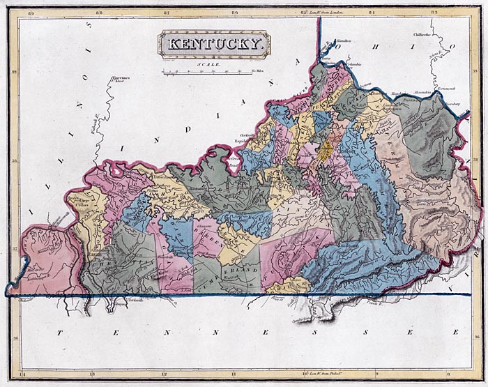
The General Assembly, responding to a perceived weakening of the commitment of the government of Tennessee to the resolution of the boundary question by a commission appointed on the part each state "acting in concert together," approved "an act concerning the boundary line between this state and the state of Tennessee" on February 3, 1813. The governor was instructed to communicate its "final determination" to "the executive and legislature of the said state" to proceed with the commission as originally planned. The failure of Tennessee to proceed on these grounds would impose "the disagreeable necessity" of having "the long contested question" settled "by a resort to the means pointed out by the constitution of the United States for the decision of such controversies" (article 3, section 2).

This map of Kentucky, published by Fielding Lucas and Co., Baltimore, ca. 1817, shows the Kentucky-Tennessee boundary delineated by a simple straight line. In fact, it took almost a century for Virginia and North Carolina, then Kentucky and Tennessee to resolve disputes over the boundary. Kentucky Historical Society Collections.
